
SOFTWARE OUTCOME · 2024
Ecological remote sensing and AIMulti-source remote-sensing satellite monitoring system
Management of remote-sensing missions, monitoring sites and spatial data
Direct answer
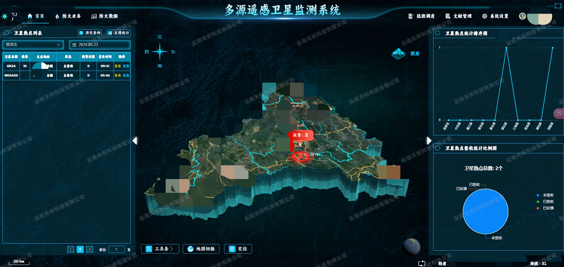
The system organizes remote-sensing sites, task feedback, spatial locations, statistics and documents in one regional monitoring view.
CAPABILITIES
Capabilities reflected by the materials
Task receipt and feedback
Maps and layers
Statistics and documents
 View certificate image
VERIFIED CERTIFICATE
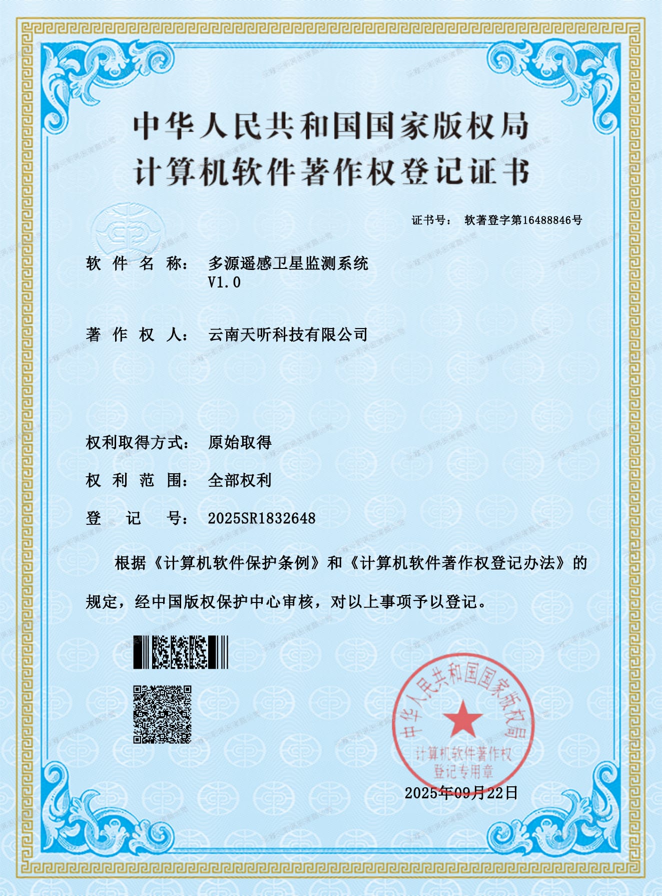
Software copyright registration certificate
The fields below were reviewed against the supplied certificate. The public image carries a physical watermark. Registration proves the copyright record, not a particular project delivery.
- Software name
- 多源遥感卫星监测系统 V1.0
- Registration No.
- 2025SR1832648
- Certificate No.
- 软著登字第16488846号
- Registration date
EVIDENCE POLICY
Outcome and delivery boundaries
This page presents software outcome information and a related copyright registration. Registration information does not prove a particular project delivery or readiness without adaptation. Requirements, data, interfaces, security and delivery conditions must still be confirmed.
FAQ
Questions about this software outcome
Where can I view registration information related to Multi-source remote-sensing satellite monitoring system?
The Technology page lists registration number 2025SR1832648, dated 2025-09-22, and certificate number 软著登字第16488846号.
Can Multi-source remote-sensing satellite monitoring system be deployed directly?
The materials demonstrate technical coverage. Delivery still requires adaptation to workflows, data sources, interfaces, security, deployment and acceptance requirements.
Why are source code and complete technical documents not public?
Source code, complete design documents and sensitive operational data are non-public. Only reviewed facts and approved interface images are shown.
Management of remote-sensing missions, monitoring sites and spatial data
Evaluate how the capability fits the project’s workflows, data and delivery boundaries.
Discuss applicability